-
 ×
- Koti
- Taideteokset ▸
- Taiteilijat ▸
- Kategoriat ▸
- Tyylisuuntaukset ▸
- Kehykset ▸
- Painomateriaalit ▸
- Kaikki tulostusmateriaalit
- Canvas Leonardo (satiini)
- Canvas Salvador (matta)
- Canvas Raphael (matta)
- FineArt Photo Matta
- FineArt Photo Satiini
- FineArt Photo Baryte
- FineArt Photo Kiiltävä
- Akvarelli pahvi Munch
- Akvarelli pahvi Renoir
- Akvarelli pahvi Turner
- Akvarelli pahvi Dürer
- Natural Line Hemp
- Natural Line Rice
- Kozo White, 110g
- Kozo Natural, 110g
- Inbe White, 125g
- Unryu, 55g
- Bamboo, 110g
- Premio Unryu, 165g
- Murakumo Natural, 42g
- Bizan Natural, 300g
- Bizan White, 300g
- Alumiini komposiitti 3mm
- Akryylilasi 5mm
- Tilaa testisarja
- Mikä tulostusmateriaali sopii?
Kangas
Valokuvapaperi
Akvarellikartonki
Natural Line
Japanilainen paperi
Erikoismateriaalit
Lisätietoja
- Ohjeita & Tietoa ▸
- Ota yhteyttä
- Myy taiteesi
- Usein kysytyt kysymykset
- Avoimet työpaikat
- Reklamaatio
- Tilaa näytteet
- Tilaa lahjakortteja
- Toimituskulut
- Tuotantoaika
- Kestävyys
- Kuvahaku
- Erityistoiveet
- Keitä me olemme?
- Hinnoittelupolitiikka
- Yrityspolitiikka
- Laatulupaus
- Tunnustukset
- Kiilakehys
- Passepartout
- Koristekehykset
- Lasitus
- Listat
- Kiinnitysjärjestelmät
- Tulostusmateriaalit
- Hoitovinkkejä
- Yritys
- Käyttöehdot
- Tietosuoja
- Peruutusehdot
Tietoa ja palvelua
Lisätietoja
Hyvä tietää
Lakitietoa
- Kauppa ▸
- Yhteystiedot




 Katso 3D/AR -tilassa
 Lisää suosikkeihin
 Valitse seinäväri
 Tarkastele miltä maalaus näyttää huoneessasi
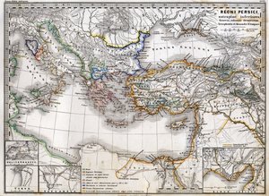

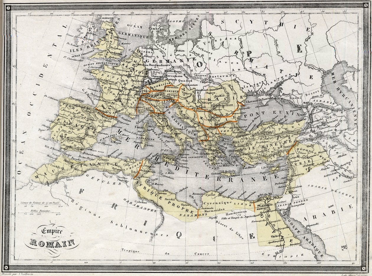
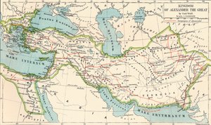
.jpg "Imperia Persarum ja Macedonum")
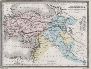
.jpg "Länsi-Asien")
.jpg "Ottomaanien valtakunta vuonna 1696, kirjoittanut Jaillot (Välimeren erityinen teräväpiirto)")
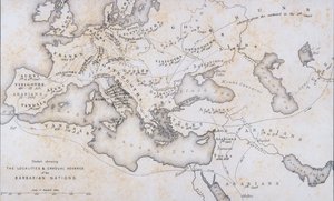

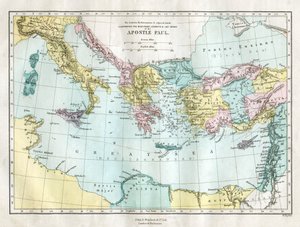
.jpg "Apostolien matkustamat maat ja esittävät Pyhän Paavalin matkoja Aasian ja Euroopan välillä")

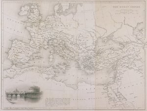
.jpg "Euroopan kartta, 1841")
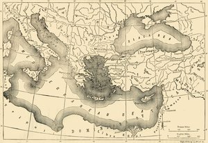
.jpg "Imperia Persarum ja Macedonum.")
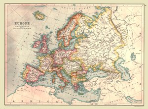
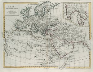
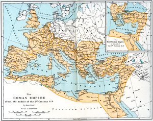
.jpg "Euroopan, Pohjois-Afrikan ja Länsi-Aasian kartta, Orbis Veteribus Notus, Samuel Butlerin teoksesta \"Muinaisen maantieteen atlas\", julkaistu Lontoossa, n. 1829")
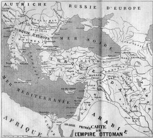
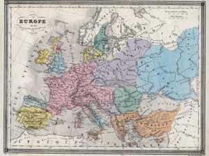
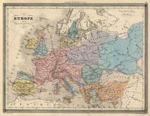
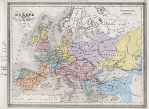
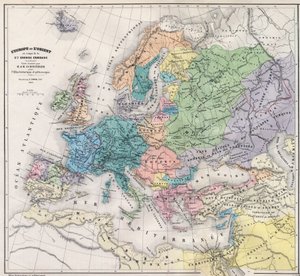
.jpg "Kaarle Suuren valtakunta, kirjasta Atlas Historique et Picturesque, M J-H Schnitzler, 1857")
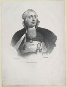
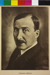
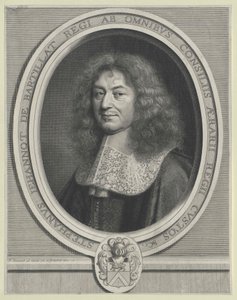
_De_Architectura_(On_Architec_-_(MeisterDrucke-1512626).jpg "VITRUVIUS, Marcus Vitruvius Pollio (1. vuosisata eKr.). \"De Architectura\" (Arkkitehtuurista), Miguel de Urrean espanjankielisellä käännöksellä. Julkaissut Juan Gracián Alcalá de Henaresissa (1582). Sivun 35 kuvitus, jossa esitetään ihmiskehon")

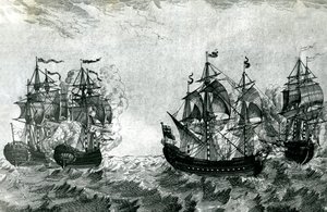


_-_Captain_Edward_Teach_(Thatch)_dit_Barbe_-_(MeisterDrucke-1635205).jpg "Edward \"Mustaparta\" Teach (1680) - 1718) - Kapteeni Edward Teach (Thatch) dit Barbenoire (Mustaparta tai Mustaparta tai Mustaparta tai Mustaparta")
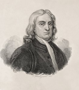
.jpg "Venetsialainen veduta ja Santa Maria della Saluten kirkko")
.jpg "Ruusuja eli taiteilijan vaimo Skagenin puutarhassa")
.jpg "Purjevene, iltavaikutelma, 1885")
 - (MeisterDrucke-246714).jpg "Marian ilmestys, 1472-75 (restauroinnin jälkeen)")
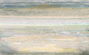
.jpg "Valtakunnan kulku. Hävitys")
.jpg "Bell Rockin majakka")
.jpg "Alaston nainen vuoteessa, n. 1914")
.jpg "Vuodenajat: kevät, 1896")
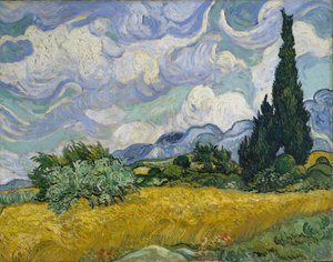
.jpg "Kissojen teekutsut")
.jpg "Boulevard Montmartre talviaamuna")

.jpg "Beethoven-friisi")

 +43 4257 29415
 support@meisterdrucke.com
 Mo-Do: 7:00 - 16:00 | Fr: 7:00 - 13:00