-
 ×
- Koti
- Taideteokset ▸
- Taiteilijat ▸
- Kategoriat ▸
- Tyylisuuntaukset ▸
- Kehykset ▸
- Painomateriaalit ▸
- Kaikki tulostusmateriaalit
- Canvas Leonardo (satiini)
- Canvas Salvador (matta)
- Canvas Raphael (matta)
- FineArt Photo Matta
- FineArt Photo Satiini
- FineArt Photo Baryte
- FineArt Photo Kiiltävä
- Akvarelli pahvi Munch
- Akvarelli pahvi Renoir
- Akvarelli pahvi Turner
- Akvarelli pahvi Dürer
- Natural Line Hemp
- Natural Line Rice
- Kozo White, 110g
- Kozo Natural, 110g
- Inbe White, 125g
- Unryu, 55g
- Bamboo, 110g
- Premio Unryu, 165g
- Murakumo Natural, 42g
- Bizan Natural, 300g
- Bizan White, 300g
- Alumiini komposiitti 3mm
- Akryylilasi 5mm
- Tilaa testisarja
- Mikä tulostusmateriaali sopii?
Kangas
Valokuvapaperi
Akvarellikartonki
Natural Line
Japanilainen paperi
Erikoismateriaalit
Lisätietoja
- Ohjeita & Tietoa ▸
- Ota yhteyttä
- Myy taiteesi
- Usein kysytyt kysymykset
- Avoimet työpaikat
- Reklamaatio
- Tilaa näytteet
- Tilaa lahjakortteja
- Toimituskulut
- Tuotantoaika
- Kestävyys
- Kuvahaku
- Erityistoiveet
- Keitä me olemme?
- Hinnoittelupolitiikka
- Yrityspolitiikka
- Laatulupaus
- Tunnustukset
- Kiilakehys
- Passepartout
- Koristekehykset
- Lasitus
- Listat
- Kiinnitysjärjestelmät
- Tulostusmateriaalit
- Hoitovinkkejä
- Yritys
- Käyttöehdot
- Tietosuoja
- Peruutusehdot
Tietoa ja palvelua
Lisätietoja
Hyvä tietää
Lakitietoa
- Kauppa ▸
- Yhteystiedot





 Katso 3D/AR -tilassa
 Lisää suosikkeihin
 Valitse seinäväri
 Tarkastele miltä maalaus näyttää huoneessasi
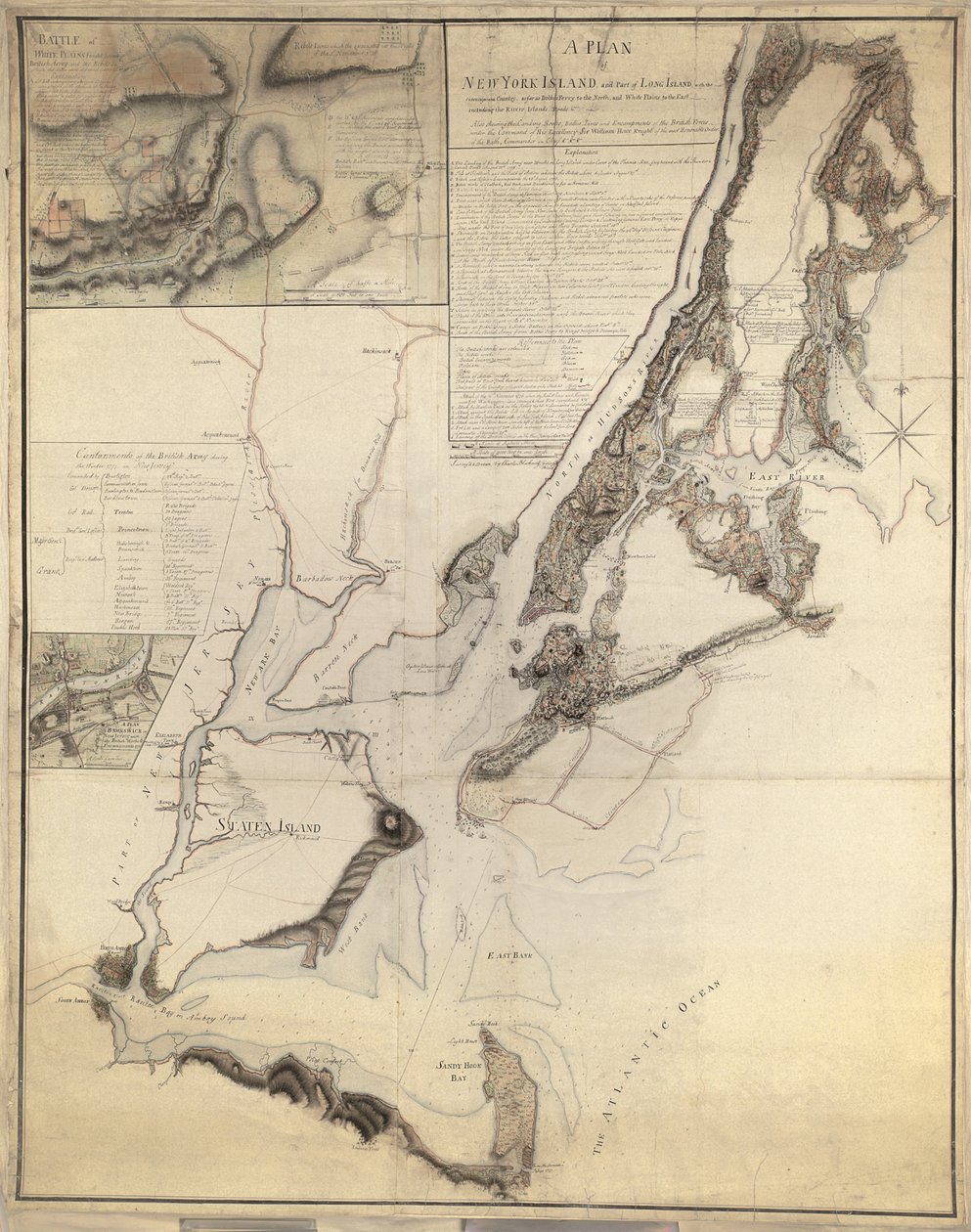
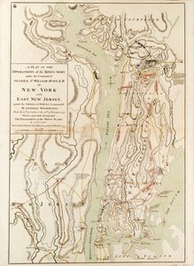
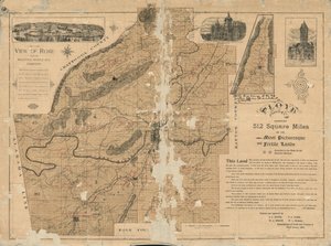
.jpg "Suunnitelma New York Islandista, jossa on osa Long Islandista, Staten Islandista ja East New Jerseystä, ja erityinen kuvaus kihlauksesta Long Islandin metsäisillä korkeuksilla Flatbushin ja Brooklynin välillä")
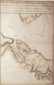
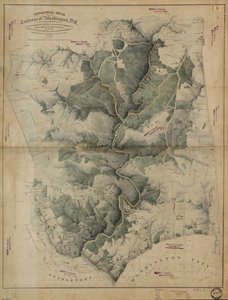
.jpg "Suunnitelma New Yorkin kaupungista ja sen ympäristöstä Greenwichiin North (Hudson) Riverillä Crown Pointiin East Riverillä, kartoitettu 1766, 1775 (litografia)")
.jpg "New Yorkin kaupungin suunnitelma, jossa näkyy tehty [sic] ja suoalue, 1856 (musta muste paperille)")
.jpg "New Yorkin kaupungin kartta komission jäsenten asettamana, 1814")
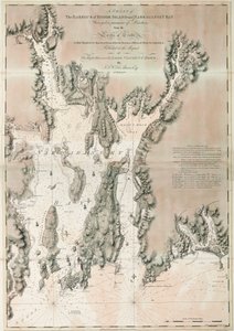
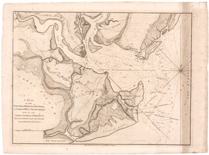
.jpg "Pohjois-Amerikassa sijaitsevan New Yorkin kaupungin suunnitelma, joka on mitattu vuosina 1766 ja 1767 ja joka on julkaistu Fadenin atlaksessa, 1776.")

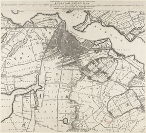
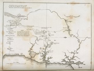
.jpg "New Yorkin kaupunki, kuten ympäröivän maan komissaarit, heidän sihteerinsä ja katsastajansa John Randel, Jr., ovat määritelleet, 1814, 1814 (Kynällä ja musteella, akvarelli paperilla.)")
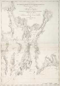
.jpg "New Yorkin saaren kartta vierekkäisillä kivillä ja muilla Hell-gaten merkittävillä osilla, 1778 (musta muste paperilla)")
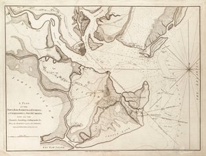
.jpg "Luonnos toiminnoista ennen Charlestownia, Etelä-Carolinan pääkaupunkia, noin 1780")
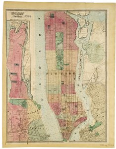
.jpg "Lasten leikit")
.jpg "Maallisten ilojen puutarha")
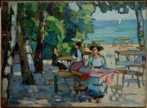
.jpg "Itämainen alaston")
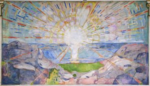
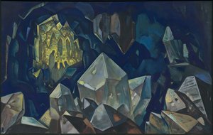
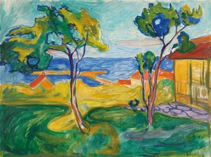
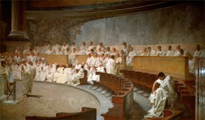
 - (MeisterDrucke-103908).jpg "Sommitelma, 1930")
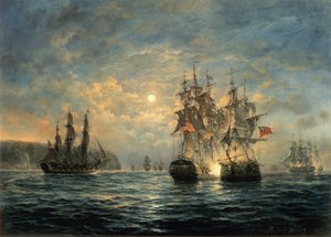
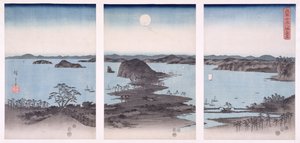
.jpg "Okeanidit")
.jpg "Mulperipuu, 1889")

 +43 4257 29415
 support@meisterdrucke.com
 Mo-Do: 7:00 - 16:00 | Fr: 7:00 - 13:00