-
 ×
- Koti
- Taideteokset ▸
- Taiteilijat ▸
- Kategoriat ▸
- Tyylisuuntaukset ▸
- Kehykset ▸
- Painomateriaalit ▸
- Kaikki tulostusmateriaalit
- Canvas Leonardo (satiini)
- Canvas Salvador (matta)
- Canvas Raphael (matta)
- FineArt Photo Matta
- FineArt Photo Satiini
- FineArt Photo Baryte
- FineArt Photo Kiiltävä
- Akvarelli pahvi Munch
- Akvarelli pahvi Renoir
- Akvarelli pahvi Turner
- Akvarelli pahvi Dürer
- Natural Line Hemp
- Natural Line Rice
- Kozo White, 110g
- Kozo Natural, 110g
- Inbe White, 125g
- Unryu, 55g
- Bamboo, 110g
- Premio Unryu, 165g
- Murakumo Natural, 42g
- Bizan Natural, 300g
- Bizan White, 300g
- Alumiini komposiitti 3mm
- Akryylilasi 5mm
- Tilaa testisarja
- Mikä tulostusmateriaali sopii?
Kangas
Valokuvapaperi
Akvarellikartonki
Natural Line
Japanilainen paperi
Erikoismateriaalit
Lisätietoja
- Ohjeita & Tietoa ▸
- Ota yhteyttä
- Myy taiteesi
- Usein kysytyt kysymykset
- Avoimet työpaikat
- Reklamaatio
- Tilaa näytteet
- Tilaa lahjakortteja
- Toimituskulut
- Tuotantoaika
- Kestävyys
- Kuvahaku
- Erityistoiveet
- Keitä me olemme?
- Hinnoittelupolitiikka
- Yrityspolitiikka
- Laatulupaus
- Tunnustukset
- Kiilakehys
- Passepartout
- Koristekehykset
- Lasitus
- Listat
- Kiinnitysjärjestelmät
- Tulostusmateriaalit
- Hoitovinkkejä
- Yritys
- Käyttöehdot
- Tietosuoja
- Peruutusehdot
Tietoa ja palvelua
Lisätietoja
Hyvä tietää
Lakitietoa
- Kauppa ▸
- Yhteystiedot




 Katso 3D/AR -tilassa
 Lisää suosikkeihin
 Valitse seinäväri
 Tarkastele miltä maalaus näyttää huoneessasi
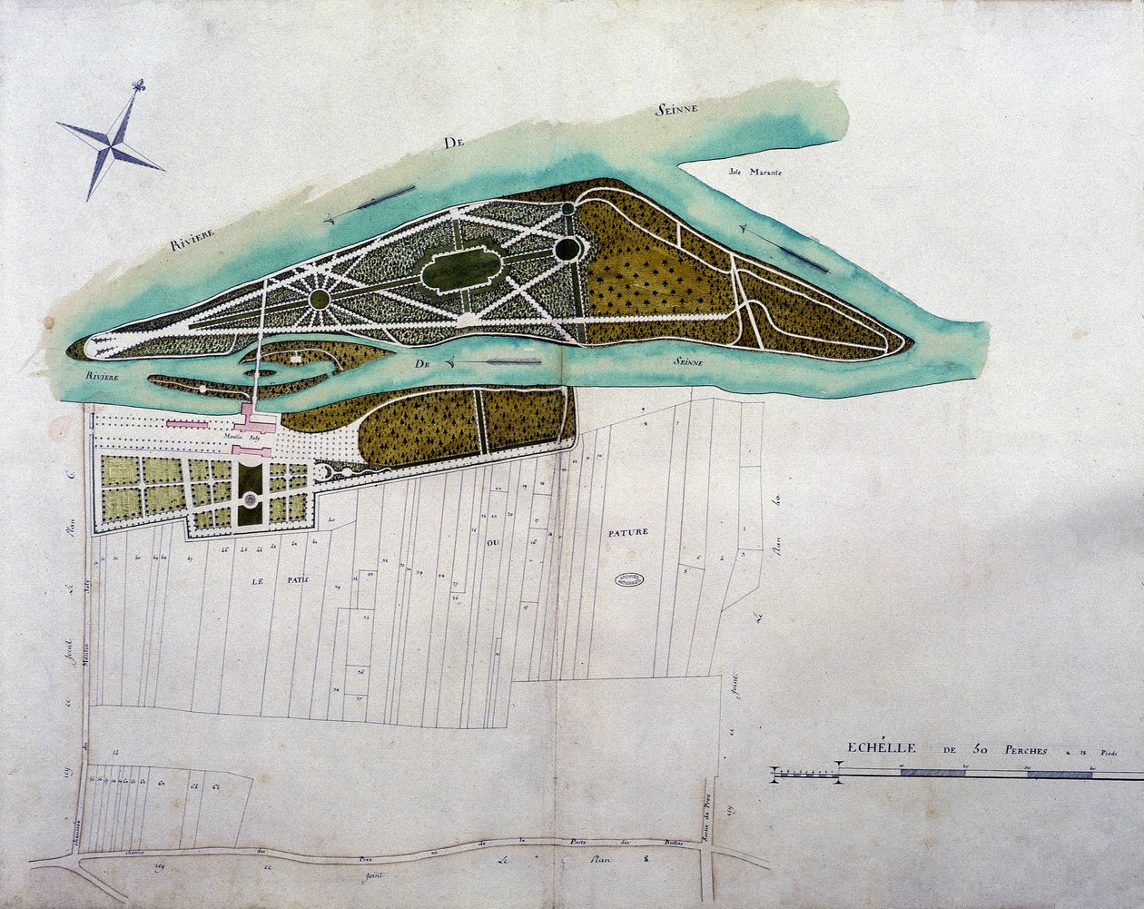
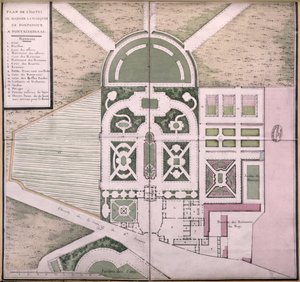
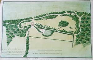
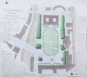
.jpg "План острова Любви в Гатчинском парке")
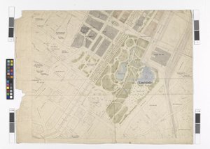
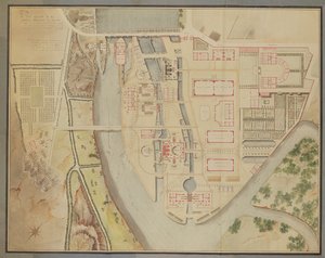
 - (MeisterDrucke-160554).jpg "Parc Monceaun suunnitelma, 1803 (kynä, muste ja wc paperilla)")
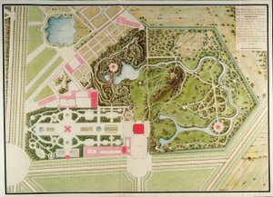

.jpg "Taiteilijan kaivertama suunnitelma Buckinghamin herttuan Richard Grenvillen puutarhasta Stowessa, 1827")
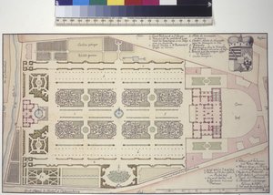
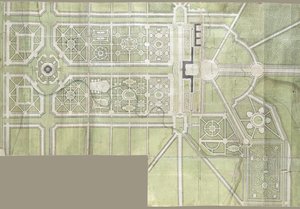
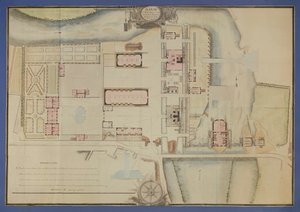
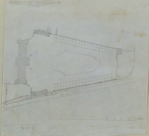
.jpg "Villa del Poggio Imperialen suunnitelma")
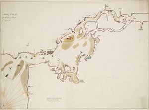
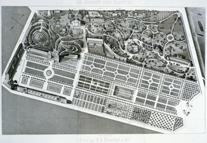
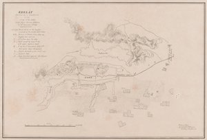
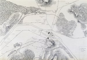
.jpg "1870 kopio kartasta vuodelta 1599 Haarlemin valkaisukentiltä Bloemendaalin lähellä")
.jpg "Sydneyn kaupungin suunnitelma, Voyage Autour du Monde (1817-20), julkaistu 1822-24")
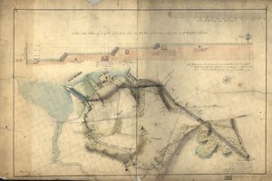
 - (MeisterDrucke-655173).jpg "New York 1695, 1846 (musta muste paperille, taustapaperi)")
_Sanuto_-_Map_of_Jerusalem_from_Book_of_Secrets_of_Faithful_of_Cross_(Liber_Secretorum_Fid_-_(MeisterDrucke-1101301).jpg "Jerusalemin kartta, kirjasta Book of Faithful of Cross (Liber Secretorum Fidelium Crucis)")
.jpg "Suunnitelma Tuileries")
.jpg "Naudanliha: kaavio eri lihapaloista")
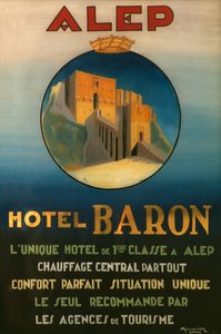
.jpg "Akhilleuksen kilpi Homeroksen Iliaan kuvauksen mukaan, 1815")
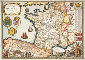
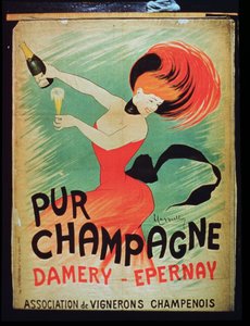
.jpg "\"Kuusipäinen mies\", pilakuva Charles Maurice de Talleyrand-Périgordista (1754-1838), 1815")
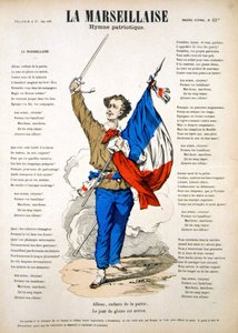


.jpg "Jumalallinen laupeus")
.jpg "Pont Neuf, Pariisi")
.jpg "Venuksen syntymä")
 - (MeisterDrucke-103105).jpg "Hedelmätarha ja ruusuja")
.jpg "Mies ja nainen, syleily")
.jpg "Nukkuva mustalaisnainen")
 - (MeisterDrucke-236550).jpg "Laulava mies, 1928")
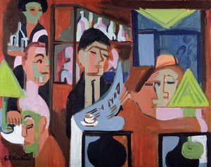
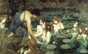
 on the sea wall at La Rochelle 1881 (see also 307586) - (MeisterDrucke-61008).jpg "Richelieu (1585-1642) La Rochellen merivallilla, 1881")
.jpg "Vuodenajat: syksy, 1896")
.jpg "Luuttua soittava nainen")
 - (MeisterDrucke-770).jpg "Pyhä kolminaisuus")

 +43 4257 29415
 support@meisterdrucke.com
 Mo-Do: 7:00 - 16:00 | Fr: 7:00 - 13:00