-
 ×
- Koti
- Taideteokset ▸
- Taiteilijat ▸
- Kategoriat ▸
- Tyylisuuntaukset ▸
- Kehykset ▸
- Painomateriaalit ▸
- Kaikki tulostusmateriaalit
- Canvas Leonardo (satiini)
- Canvas Salvador (matta)
- Canvas Raphael (matta)
- FineArt Photo Matta
- FineArt Photo Satiini
- FineArt Photo Baryte
- FineArt Photo Kiiltävä
- Akvarelli pahvi Munch
- Akvarelli pahvi Renoir
- Akvarelli pahvi Turner
- Akvarelli pahvi Dürer
- Natural Line Hemp
- Natural Line Rice
- Kozo White, 110g
- Kozo Natural, 110g
- Inbe White, 125g
- Unryu, 55g
- Bamboo, 110g
- Premio Unryu, 165g
- Murakumo Natural, 42g
- Bizan Natural, 300g
- Bizan White, 300g
- Alumiini komposiitti 3mm
- Akryylilasi 5mm
- Tilaa testisarja
- Mikä tulostusmateriaali sopii?
Kangas
Valokuvapaperi
Akvarellikartonki
Natural Line
Japanilainen paperi
Erikoismateriaalit
Lisätietoja
- Ohjeita & Tietoa ▸
- Ota yhteyttä
- Myy taiteesi
- Usein kysytyt kysymykset
- Avoimet työpaikat
- Reklamaatio
- Tilaa näytteet
- Tilaa lahjakortteja
- Toimituskulut
- Tuotantoaika
- Kestävyys
- Kuvahaku
- Erityistoiveet
- Keitä me olemme?
- Hinnoittelupolitiikka
- Yrityspolitiikka
- Laatulupaus
- Tunnustukset
- Kiilakehys
- Passepartout
- Koristekehykset
- Lasitus
- Listat
- Kiinnitysjärjestelmät
- Tulostusmateriaalit
- Hoitovinkkejä
- Yritys
- Käyttöehdot
- Tietosuoja
- Peruutusehdot
Tietoa ja palvelua
Lisätietoja
Hyvä tietää
Lakitietoa
- Kauppa ▸
- Yhteystiedot






 Katso 3D/AR -tilassa
 Lisää suosikkeihin
 Valitse seinäväri
 Tarkastele miltä maalaus näyttää huoneessasi
.jpg "Der Kunig von Gutzin, Georg Glockendonin painatus, 1511")

.jpg "Genneassa, 1511")
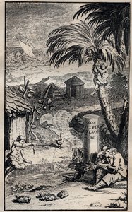

.jpg "Pomeiockin yliherra")
 King of Bohemia - (MeisterDrucke-84342).jpg "\"Pfalzin pyhiinvaeltaja\", Frederick V (1596-1632), Böömin kuningas")
.jpg "Buccaneer Länsi-Intiassa, 1686")
.jpg "Intiaanit hämmästyivät Kolumbuksen ennustamasta kuunpimennyksestä, kuvitus Edward George Cavendishin teoksesta \"A New Universal Collection of Authentic and Entertaining Voyages and Travels\", 177")
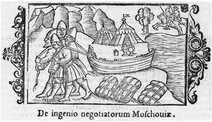
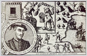
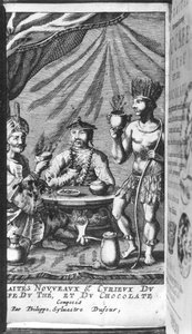
.jpg "Der Kunig von Gutzin, George Glockendonin vedos, 1511")

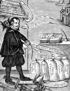
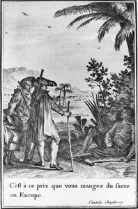
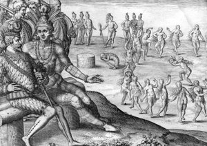
.jpg "\"Kuvaus osasta Capin seikkailuja. Smith Virginiassa\", kuvitus Smithin julkaisusta \"General History of Virginia, New England and the Summer Isles\", kaiverrettu Robert Vaughan (fl.1622-7)")
 1652 - (MeisterDrucke-74884).jpg "Madagaskar alistumassa Etienne Flacourtille (1607-60) 1652")
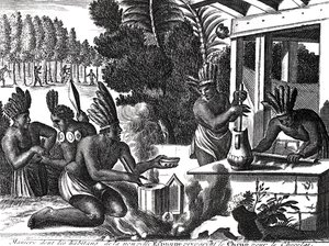

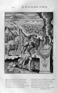
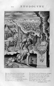
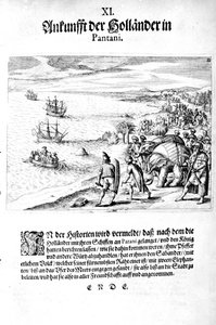
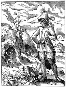



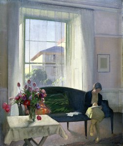
 - (MeisterDrucke-229132).jpg "Näkymä El Castillosta, 1844")
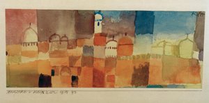
.jpg "Wienin sesession 14. näyttelyn juliste, 1902")
 - (MeisterDrucke-278342).jpg "Naisen muotokuva, 1909")
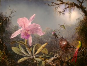
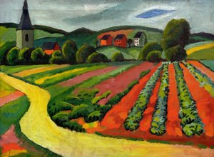
.jpg "Soutajien aamiainen")

 +43 4257 29415
 support@meisterdrucke.com
 Mo-Do: 7:00 - 16:00 | Fr: 7:00 - 13:00