-
 ×
- Koti
- Taideteokset ▸
- Taiteilijat ▸
- Kategoriat ▸
- Tyylisuuntaukset ▸
- Kehykset ▸
- Painomateriaalit ▸
- Kaikki tulostusmateriaalit
- Canvas Leonardo (satiini)
- Canvas Salvador (matta)
- Canvas Raphael (matta)
- FineArt Photo Matta
- FineArt Photo Satiini
- FineArt Photo Baryte
- FineArt Photo Kiiltävä
- Akvarelli pahvi Munch
- Akvarelli pahvi Renoir
- Akvarelli pahvi Turner
- Akvarelli pahvi Dürer
- Natural Line Hemp
- Natural Line Rice
- Kozo White, 110g
- Kozo Natural, 110g
- Inbe White, 125g
- Unryu, 55g
- Bamboo, 110g
- Premio Unryu, 165g
- Murakumo Natural, 42g
- Bizan Natural, 300g
- Bizan White, 300g
- Alumiini komposiitti 3mm
- Akryylilasi 5mm
- Tilaa testisarja
- Mikä tulostusmateriaali sopii?
Kangas
Valokuvapaperi
Akvarellikartonki
Natural Line
Japanilainen paperi
Erikoismateriaalit
Lisätietoja
- Ohjeita & Tietoa ▸
- Ota yhteyttä
- Myy taiteesi
- Usein kysytyt kysymykset
- Avoimet työpaikat
- Reklamaatio
- Tilaa näytteet
- Tilaa lahjakortteja
- Toimituskulut
- Tuotantoaika
- Kestävyys
- Kuvahaku
- Erityistoiveet
- Keitä me olemme?
- Hinnoittelupolitiikka
- Yrityspolitiikka
- Laatulupaus
- Tunnustukset
- Kiilakehys
- Passepartout
- Koristekehykset
- Lasitus
- Listat
- Kiinnitysjärjestelmät
- Tulostusmateriaalit
- Hoitovinkkejä
- Yritys
- Käyttöehdot
- Tietosuoja
- Peruutusehdot
Tietoa ja palvelua
Lisätietoja
Hyvä tietää
Lakitietoa
- Kauppa ▸
- Yhteystiedot





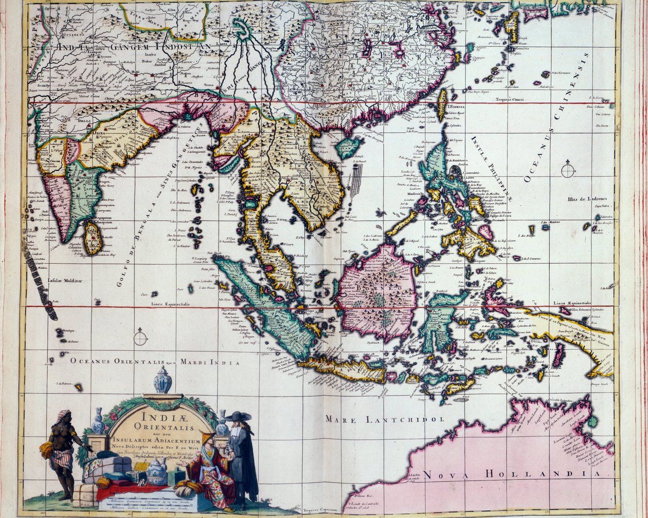
.jpg)
 - (MeisterDrucke-77380).jpg)
 Katso 3D/AR -tilassa
 Lisää suosikkeihin
 Valitse seinäväri
 Tarkastele miltä maalaus näyttää huoneessasi
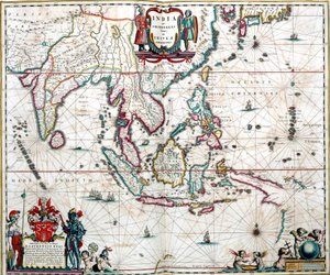
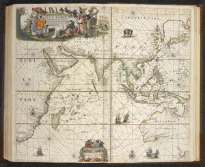
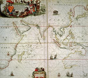
.jpg "Itä-Intian kartta (Etelä- ja Kaakkois-Aasia: Pakistan, Intia, Nepal, Bangladesh, Burma, Sri Lanka, Thaimaa, Malesia, Vietnam, Kambodža, Laos, Filippiinit, Singapore ja Indonesia)")

.jpg "Niin kutsuttu Itä-Intia ja viereiset saaret, Kaakkois-Aasiaa ja Itä-Intiaa esittävä kartta, julkaistu Amsterdamissa noin 1635")
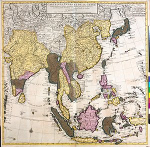
.jpg "Aasian, Tartarian, Japanin, Filippiinien ja Itä-Intian kartta, kaivertanut G. van Gouwen, noin 1690")
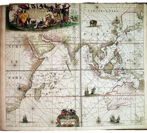
.jpg "Willem Janszoon Blaeun 1600-luvun kartta, joka näyttää nykyajan Indonesian ja osan Kaakkois-Aasiasta")
.jpg "Aasian kartta (etsaus")
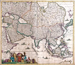
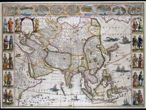
.jpg "Aasian kartta (etsaus")
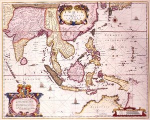
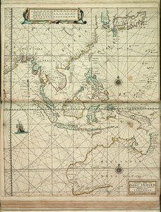
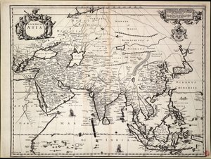
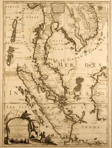
.jpg "Unbekanntes Bild")

.jpg "Aasia (kaiverrus")

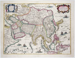
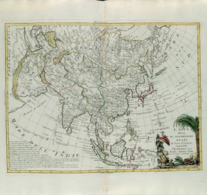
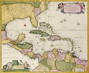
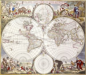
_(etching_-_(MeisterDrucke-949027).jpg "Bretagnen herttuakunnan kartta (Ranska)")
_(etching_-_(MeisterDrucke-971623).jpg "Andalusian kartta, jossa Sevilla ja Córdoba, Espanja")
.jpg "Iberian niemimaan, Espanjan ja Portugalin kartta")
_(etching_-_(MeisterDrucke-1005244).jpg "Englannin, Skotlannin ja Irlannin kartta (Iso-Britannia)")
.jpg "Atlas kannattelee taivaankantta ja käyttää maata vipuna")
_(Baltic_Co_-_(MeisterDrucke-982829).jpg "Puolan kuningaskunnan, Liettuan ja Liivinmaan (Latvia) herttuakuntien (Baltian maat) sekä Ukrainan kartta")
_(etching_-_(MeisterDrucke-1005382).jpg "Preussin kuningaskunnan kartta (Saksa)")
_and_Arabia_(Arabian_peninsula_Sa_-_(MeisterDrucke-1005385).jpg "Persian (Iran), Armenian, Anatolian (Turkki) ja Arabian kartta (Arabian niemimaa: Saudi-Arabia, Kuwait, Yhdistyneet arabiemiirikunnat, Oman, Qatar, Jemen, Bahrain)")
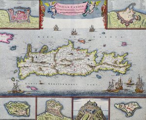
_(etching_-_(MeisterDrucke-971624).jpg "Navarran kuningaskunnan kartta (Ranska)")
_(etching_-_(MeisterDrucke-1005242).jpg "Pyhän maan kartta (Israel, Palestiina)")
 - (MeisterDrucke-115884).jpg "Pohjanmeren kartta, noin 1675")
_(etching_-_(MeisterDrucke-982949).jpg "Määrin kartta (Tšekin tasavalta)")
.jpg "Meren lapset")
.jpg "Suudelma")
.jpg "Galicialaisia naisia ikkunan ääressä, noin 1655-1660")
.jpg "Yosemiten laakso")
.jpg "\"Mary Rose\"")

 +43 4257 29415
 support@meisterdrucke.com
 Mo-Do: 7:00 - 16:00 | Fr: 7:00 - 13:00